Trail Plane San Bartolomé - xc 210303 avion - Photo
 xc
xc

User

© OpenStreetMap contributors
Length
Length
2856 km
Boucle
Boucle
No
Creation date :
2021-03-03 17:06:25.694
Updated on :
2021-03-03 21:21:12.213

(0 Reviews)

Plane
Plane
4h06
Difficulty : Very easy

Scan this QR Code to open this trail in the SityTrail application

FREE GPS app for hiking

Logo SityTrail SityTrail

IGN / Geographical institutes

Download SityTrail from the App Store Download SityTrail from Google Play

Logo SityTrail SityTrail World

The world is yours!

Download SityTrail from the App Store Download SityTrail from Google Play Download SityTrail on Huawei AppGallery

About

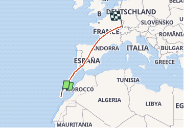
Trail Plane of 2856 km to be discovered at Canary Islands, Las Palmas, San Bartolomé. This trail is proposed by xc.

Elevation profile

Positioning

Country:
Spain
Region :
Canary Islands
Department/Province :
Las Palmas
Municipality :
San Bartolomé
Location:
Unknown
Start:(UTM)
635697 ; 3203277 (28R) N.

Trails nearby

Trail Walking Tías - Lanzarote - Photo
Walking
deomwilly

Walking

Easy
Tías, Canary Islands, Las Palmas, Spain
3.9 km | 4.4 km-effort
53min
No
Trail Walking Tías - puerto del carmen arecif - Photo
Walking
Bruno Faoro

Walking

Very easy
Tías, Canary Islands, Las Palmas, Spain
23 km | 27 km-effort
6h 13min
No
Trail Mountain bike Tías - Tías - Photo
Mountain bike
joejac

Mountain bike

Tías, Canary Islands, Las Palmas, Spain
44 km | 54 km-effort
3h 36min
Yes
Trail Other activity Tías - puerto del Carmen  - Photo
Other activity
rodriguezlanza

Other activity

Very easy
Tías, Canary Islands, Las Palmas, Spain
1.1 km | 1.3 km-effort
Unknown
No


Close
My subscriptions